Teaching & Capacity Building
Selected teaching and capacity-building activities in GIS, remote sensing, UAV, LiDAR, field surveying, and ArcGIS, emphasizing applied geospatial workflows, structured practical instruction, and professional capacity development.
GIS and Remote Sensing Practical Training
Directorate of Technical Education (DTE)
- Role
- Practical Instructor
- Format
- Instructor-led desktop laboratory sessions
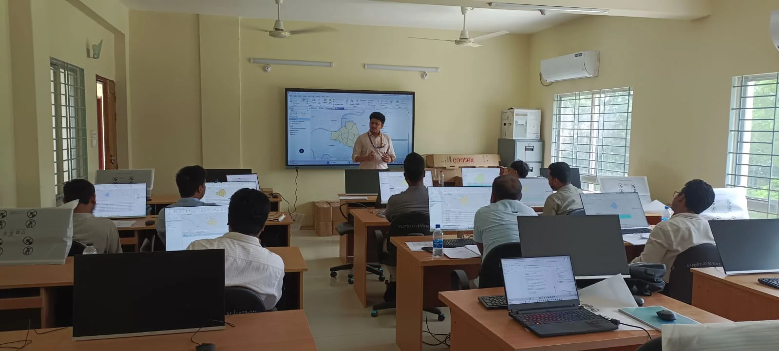
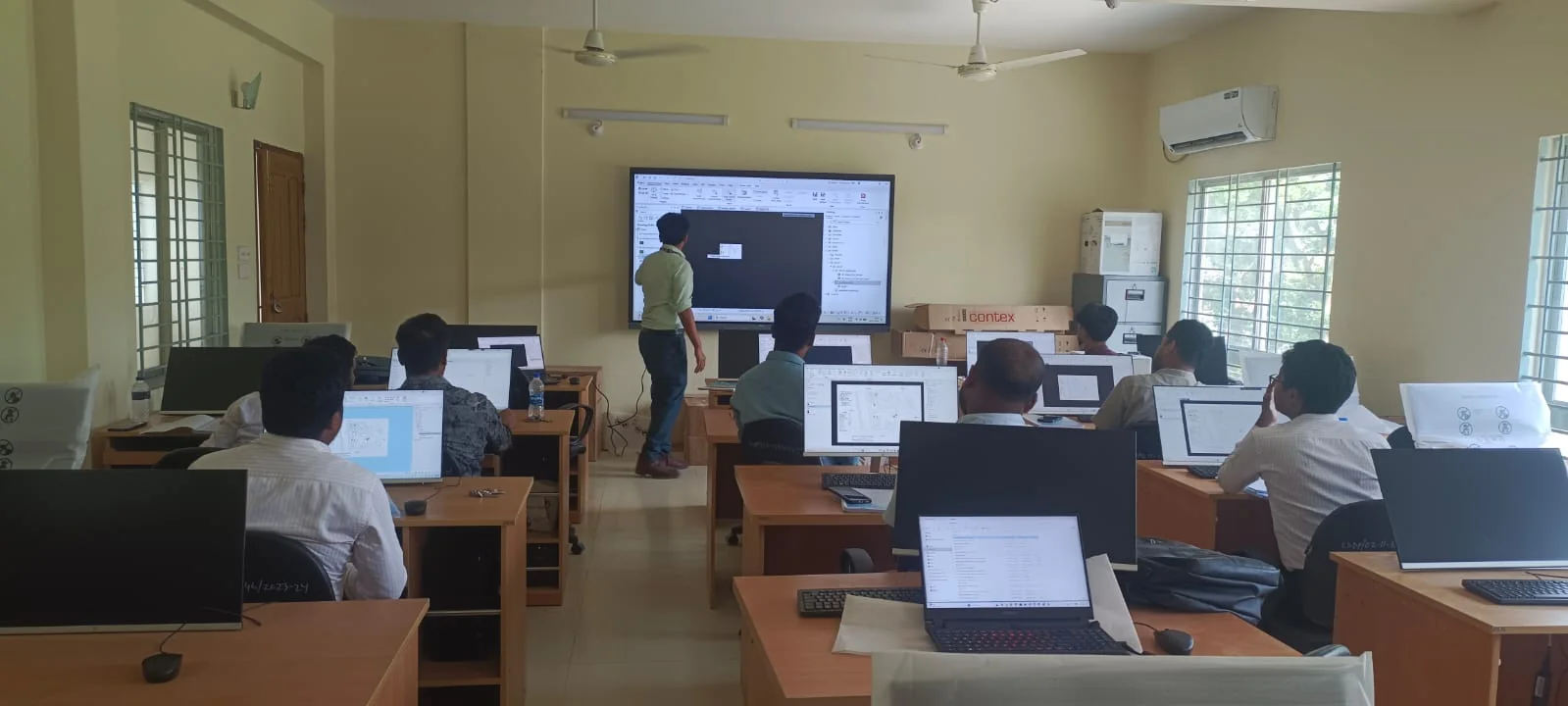
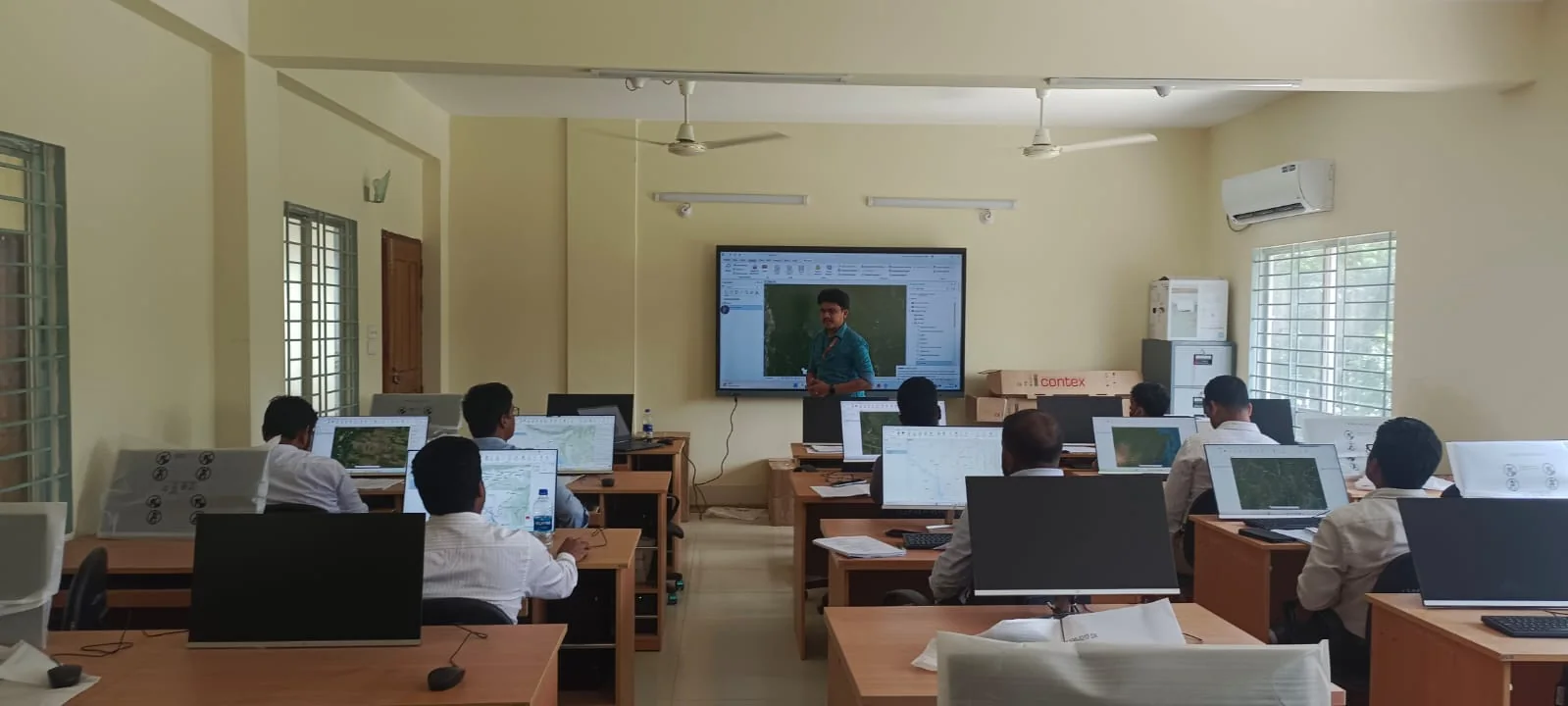
Guided GIS practice Structured desktop exercises supported immediate practice, workflow discussion, and participant-level technical clarification.
Delivered applied GIS and remote-sensing instruction through structured desktop workflows integrating data preparation, mapping, geoprocessing, spatial analysis, and visualization.
- Structured technical content into sequential, reproducible exercises.
- Explained tools through live demonstrations and spatial examples.
- Supported learners while they completed tasks on individual workstations.
- Checked outputs, clarified errors, and reinforced correct workflow logic.
UAV and LiDAR Capacity-Building Training
Bangladesh Agricultural Research Council (BARC)
- Role
- Technical Contributor
- Focus
- UAV, LiDAR, field survey, imagery, and quality control
Contributed to professional capacity development by relating UAV and LiDAR field procedures to derived geospatial products, including imagery, point clouds, maps, and quality-controlled survey outputs.
- Communicated UAV and LiDAR concepts in an applied field-to-GIS sequence.
- Connected data acquisition decisions with downstream mapping quality.
- Supported technical discussion and participant engagement.
- Emphasized safe, traceable, and quality-aware survey practice.
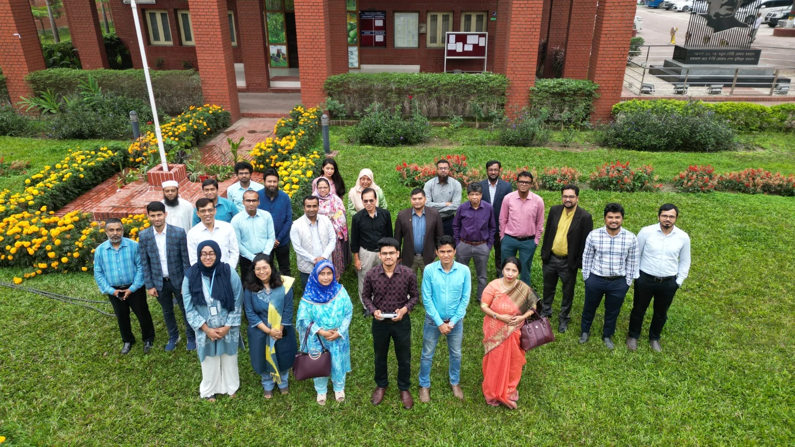
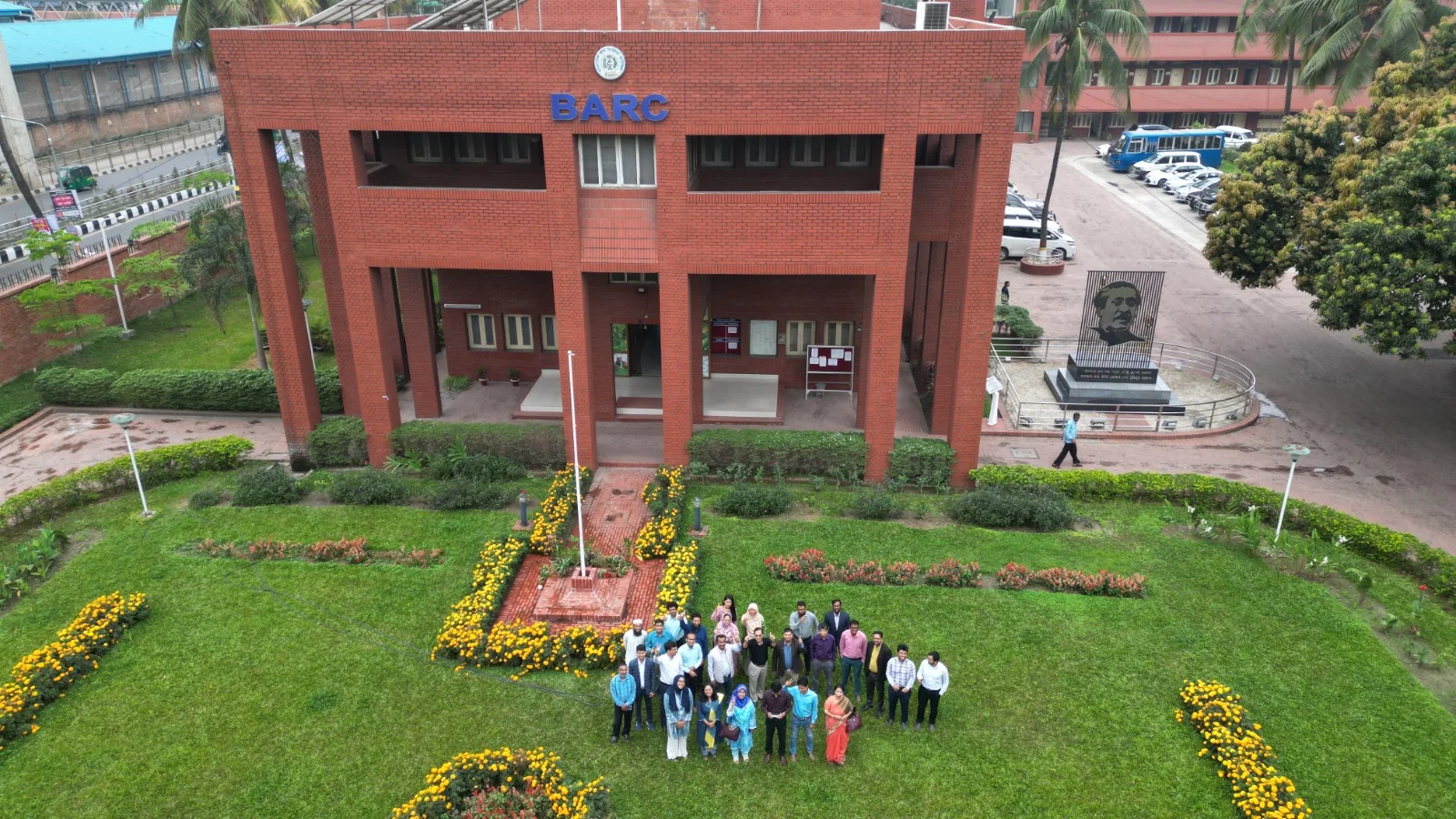
UAV and LiDAR capacity building Institutional training context documenting professional participants, field-oriented learning, and geospatial technology demonstration.
RTK Usage and Field Instruction
Centre for Environmental and Geographic Information Services (CEGIS)
- Role
- RTK field instructor
- Context
- Professional field-survey instruction at CEGIS
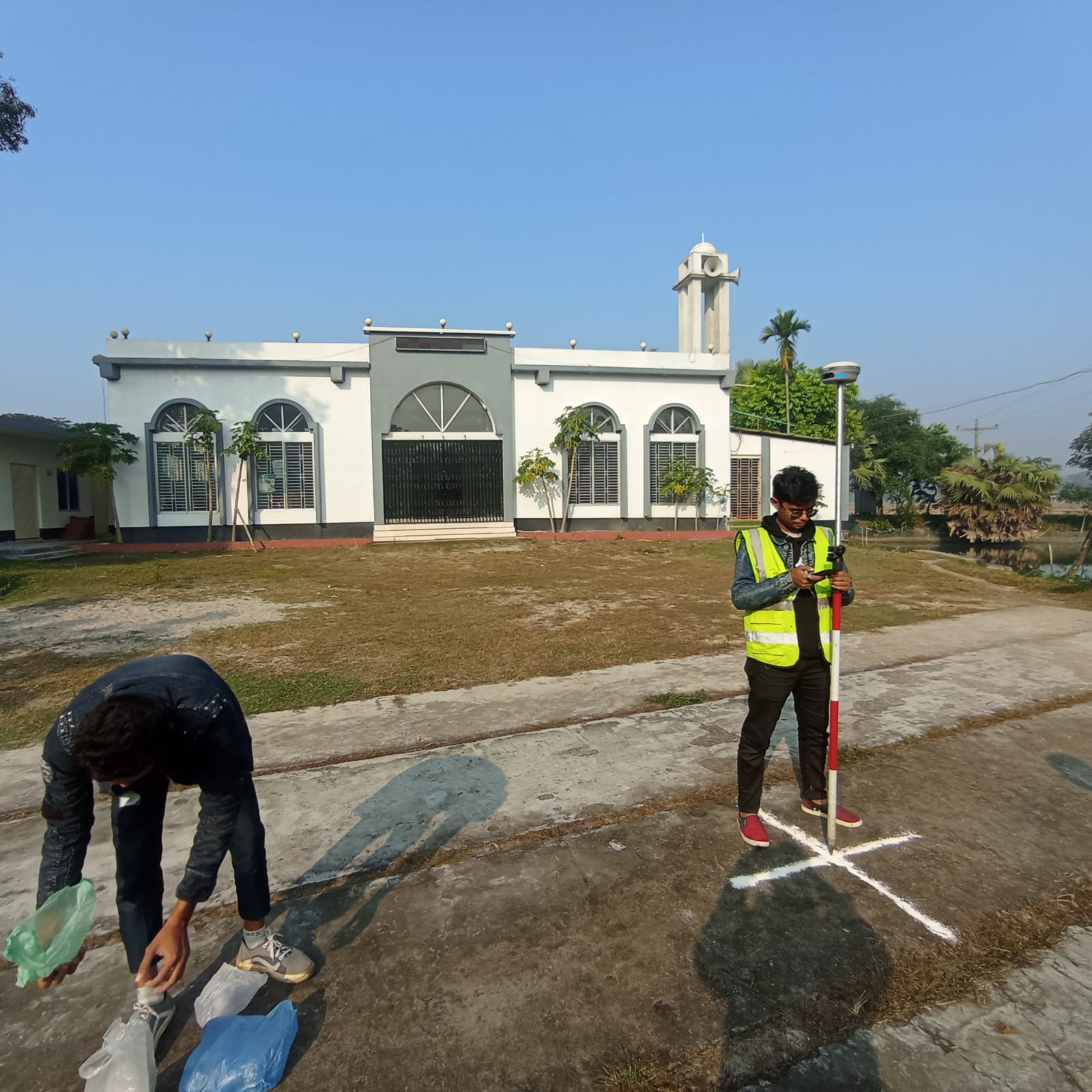
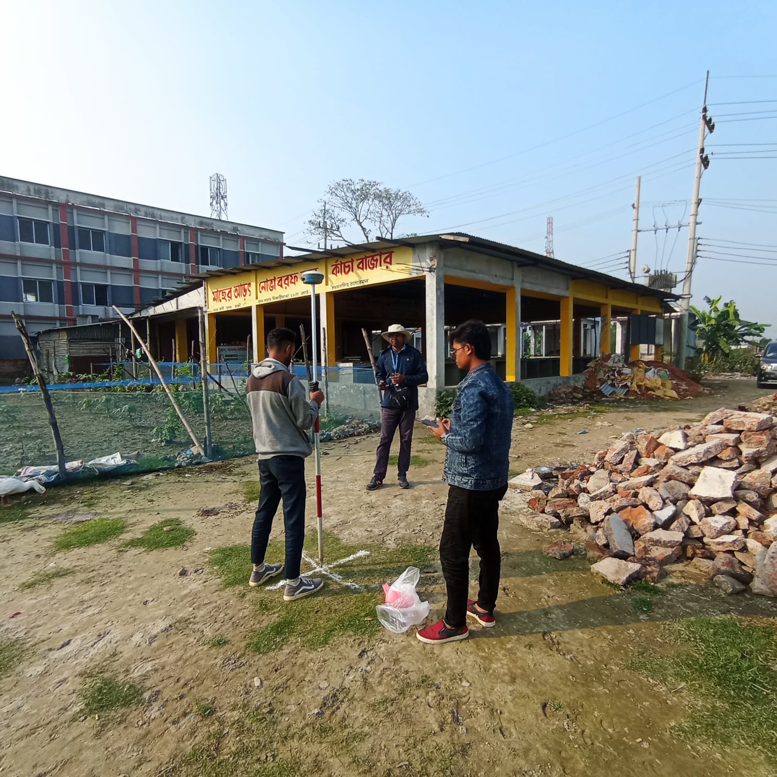
RTK field instruction at CEGIS Demonstration and guided practice covering point marking, rover handling, observation discipline, and site-based positional measurement.
Delivered practical instruction on real-time kinematic (RTK) survey procedures at the Centre for Environmental and Geographic Information Services (CEGIS), connecting field setup, point marking, instrument handling, and coordinate observation with the quality requirements of mapping, control surveying, and geospatial data integration.
- Introduced RTK workflow components, including control-point marking, rover operation, and observation discipline.
- Demonstrated how RTK measurements support UAV ground control, site positioning, and GIS-ready survey outputs.
- Guided participants through organized field practice, instrument care, and verification-oriented observation procedures.
- Emphasized accurate, traceable, and methodical survey practice suitable for academic and professional applications.
Relevance: RTK-based field control, positional verification, and data-quality awareness for applied geospatial work.