Field locations
The map uses the Bangladesh national boundary extent; the detailed outline is loaded from the Bangladesh Bureau of Statistics boundary service when online.
Selected field investigations across Bangladesh integrating UAV acquisition, RTK positioning, LiDAR, and site observation for mapping, environmental monitoring, and spatial analysis.
Field locations
The map uses the Bangladesh national boundary extent; the detailed outline is loaded from the Bangladesh Bureau of Statistics boundary service when online.
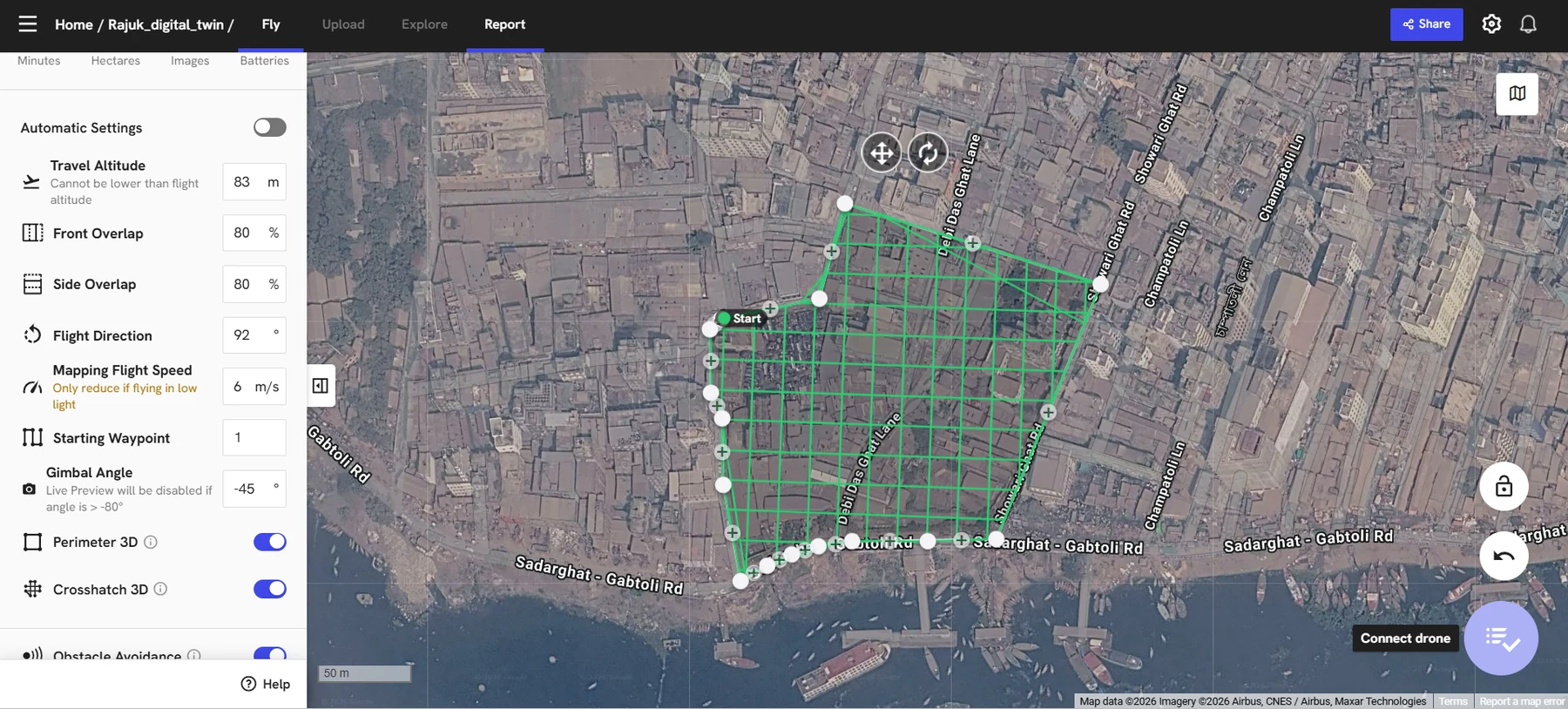
Selected field activities document mission design, data acquisition, equipment preparation, post-flight processing, and geospatial technology demonstration.
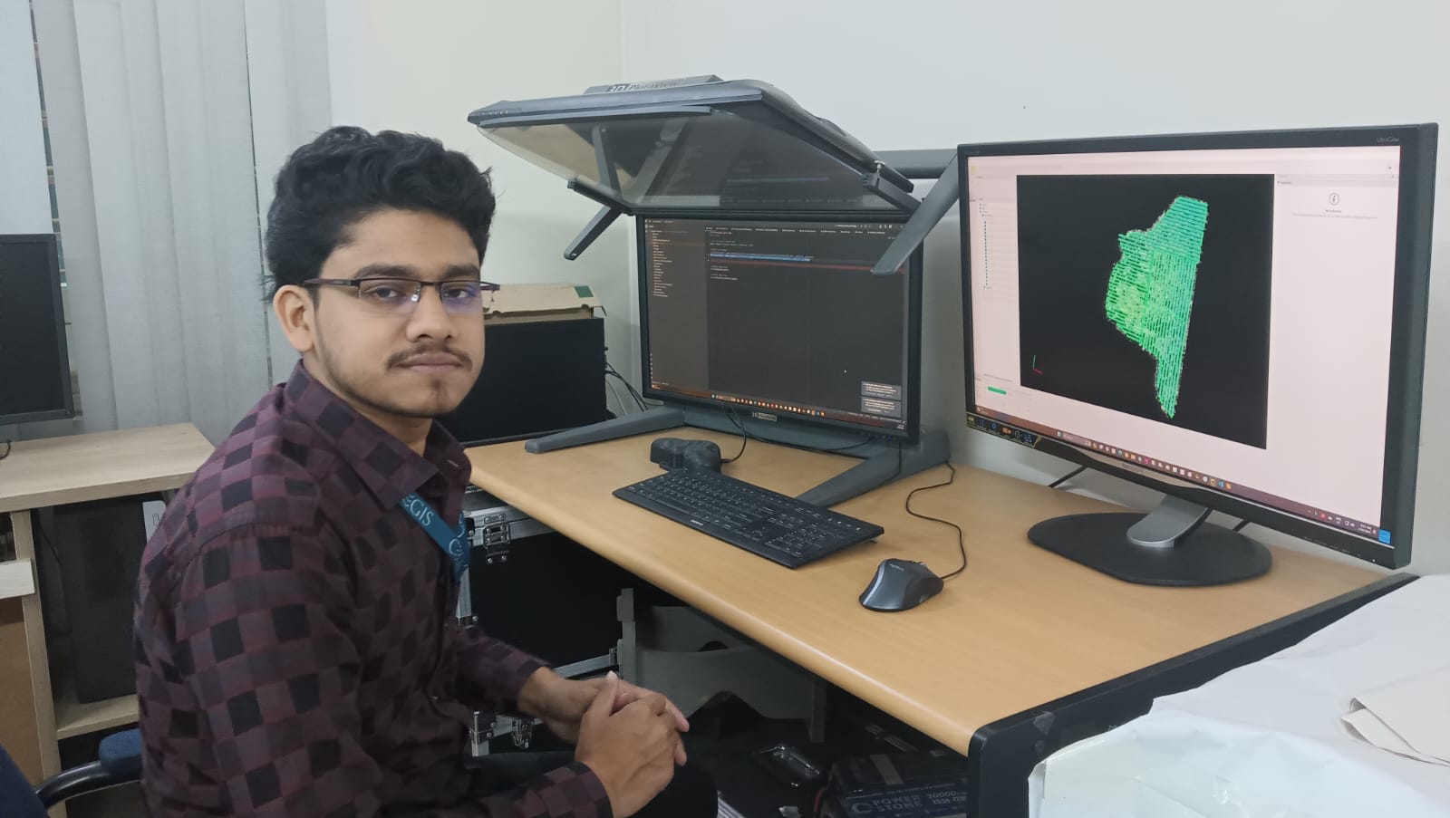
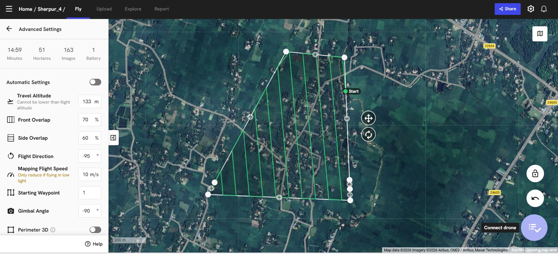
UAV survey design and post-flight processing were treated as a connected workflow. DroneDeploy was used to configure mission geometry for Phantom 4 Pro V2 and Mavic 2 Pro deployments, with parameters adjusted to site extent, surface complexity, and the intended mapping product. The collected imagery was then reviewed through photogrammetric and GIS workflows to support orthophoto generation, LiDAR-assisted interpretation, quality review, and preparation of GIS-ready datasets.
Mission execution was paired with field observation to relate aerial imagery to terrain, land use, infrastructure and environmental conditions.
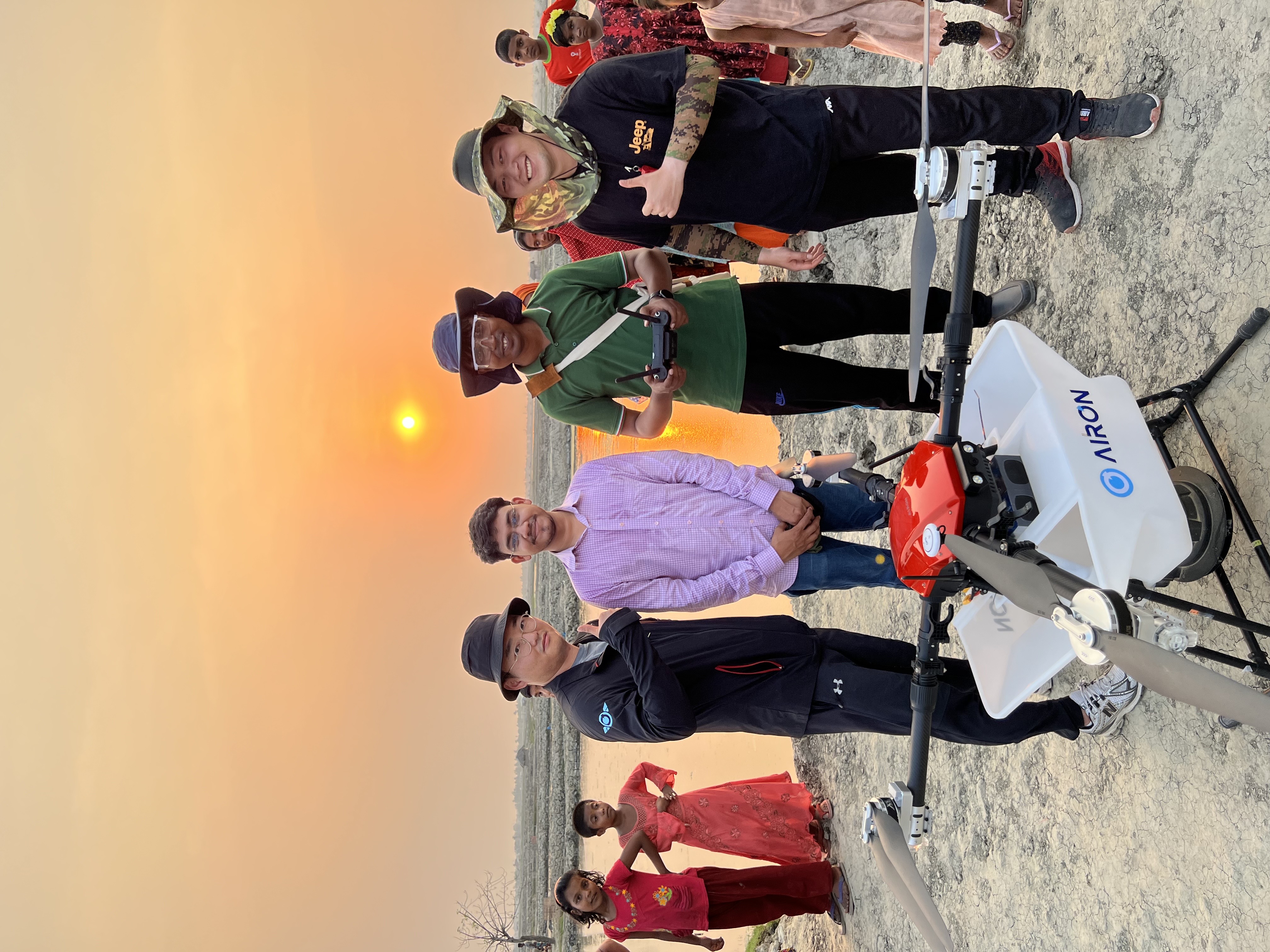
Pre-deployment checks focused on the UAV platform, payload configuration, equipment condition and coordinated field procedures.
Selected images showing inspection, payload preparation and team coordination before field deployment.
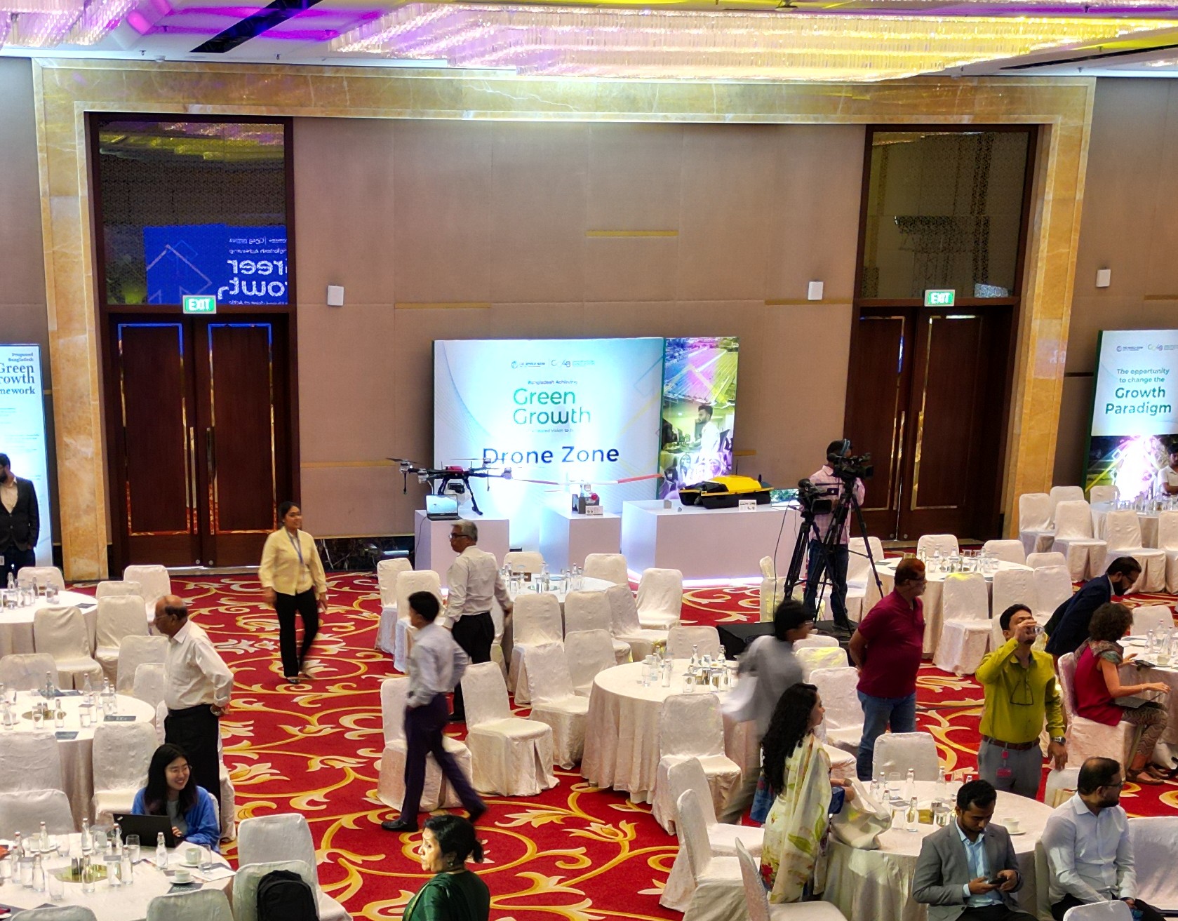
This photograph documents a World Bank Green Growth programme event in which UAV and USV applications were demonstrated for professional knowledge exchange.