Urban Planning & Spatial Analysis

I work across planning, GIS, visual communication, and design development—turning urban issues into clear evidence, maps, and visual proposals.

Urban mobility Campus planning ArcMap 10.8 AutoCAD Google SketchUp Lumion 6

AI-Based Vehicle Detection, Tracking and Directional Traffic Counting

A planning-oriented computer-vision workflow for extracting vehicle movement evidence from roadside video near Kawla, Dhaka.

Processed traffic-counting result Processed result Watch on YouTube ↗
InputRoadside video
MethodYOLOv8 + DeepSORT
OutputIN/OUT traffic records
  • Detects cars, motorcycles, buses, and trucks.
  • Tracks vehicles with persistent IDs.
  • Counts directional movement and stores timestamped events.
  • Supports traffic-volume and corridor-flow review.
Python · OpenCV · video analytics · urban mobility
Open public-safe Python source ↗

RMC & RMCH Landscape and Stormwater-Responsive Proposal

A campus-planning concept combining drainage sensitivity, public-realm quality, and rendered design communication in Rajshahi.

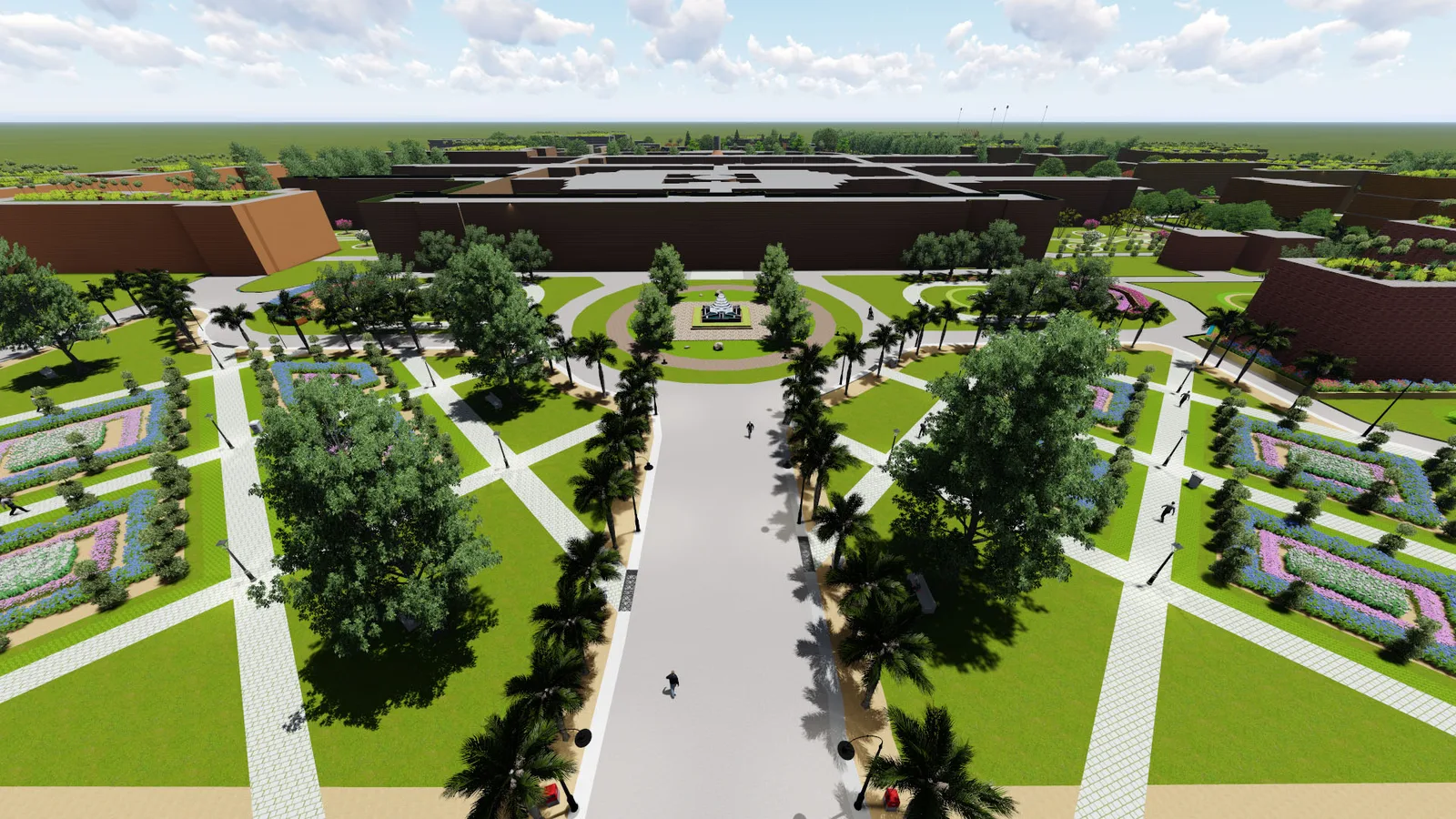
Rendered overview of the proposed RMC and RMCH campus landscape
WorkflowGIS → CAD → 3D → Render
SoftwareArcMap, AutoCAD, SketchUp, Lumion
Rain garden Field trenches Filtration pond Grass swale

The proposal responds to stormwater management, movement structure, and visual quality in the Rajshahi Medical College and Hospital campus environment.

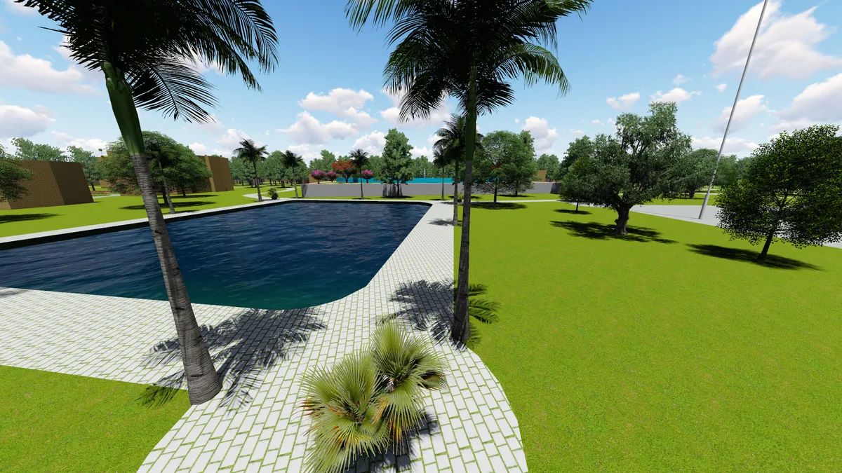
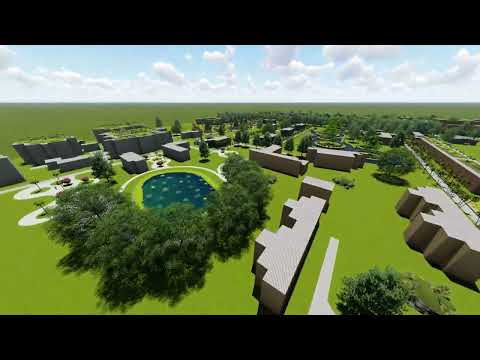
Proposed water landscape and filtration pond
Water landscape
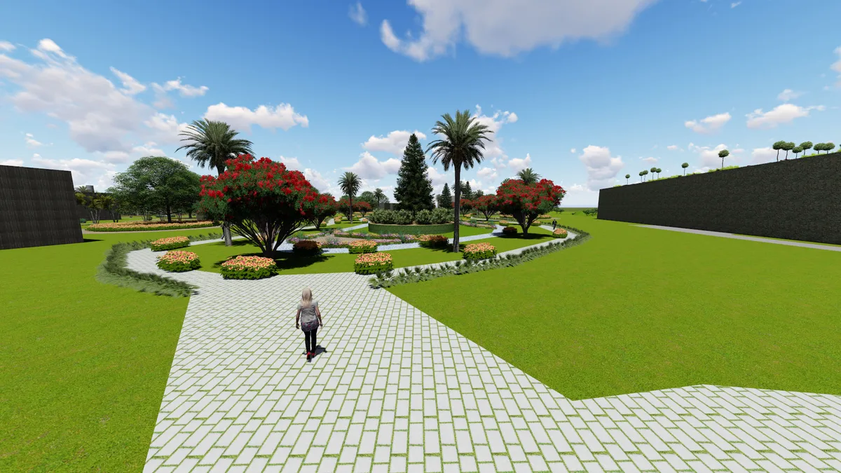
Garden walkway
Garden walkway
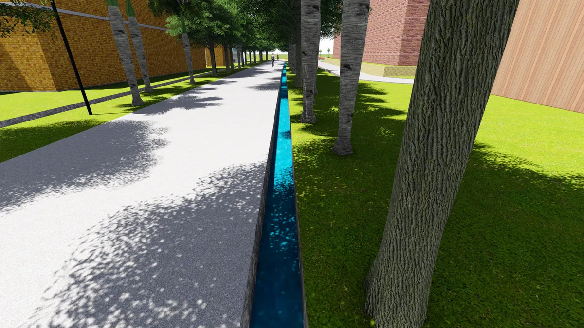
Drainage corridor
Drainage corridor
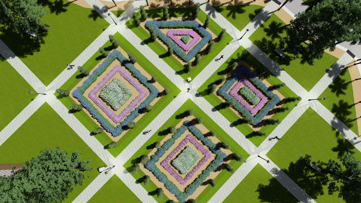
Landscape geometry
Landscape geometry
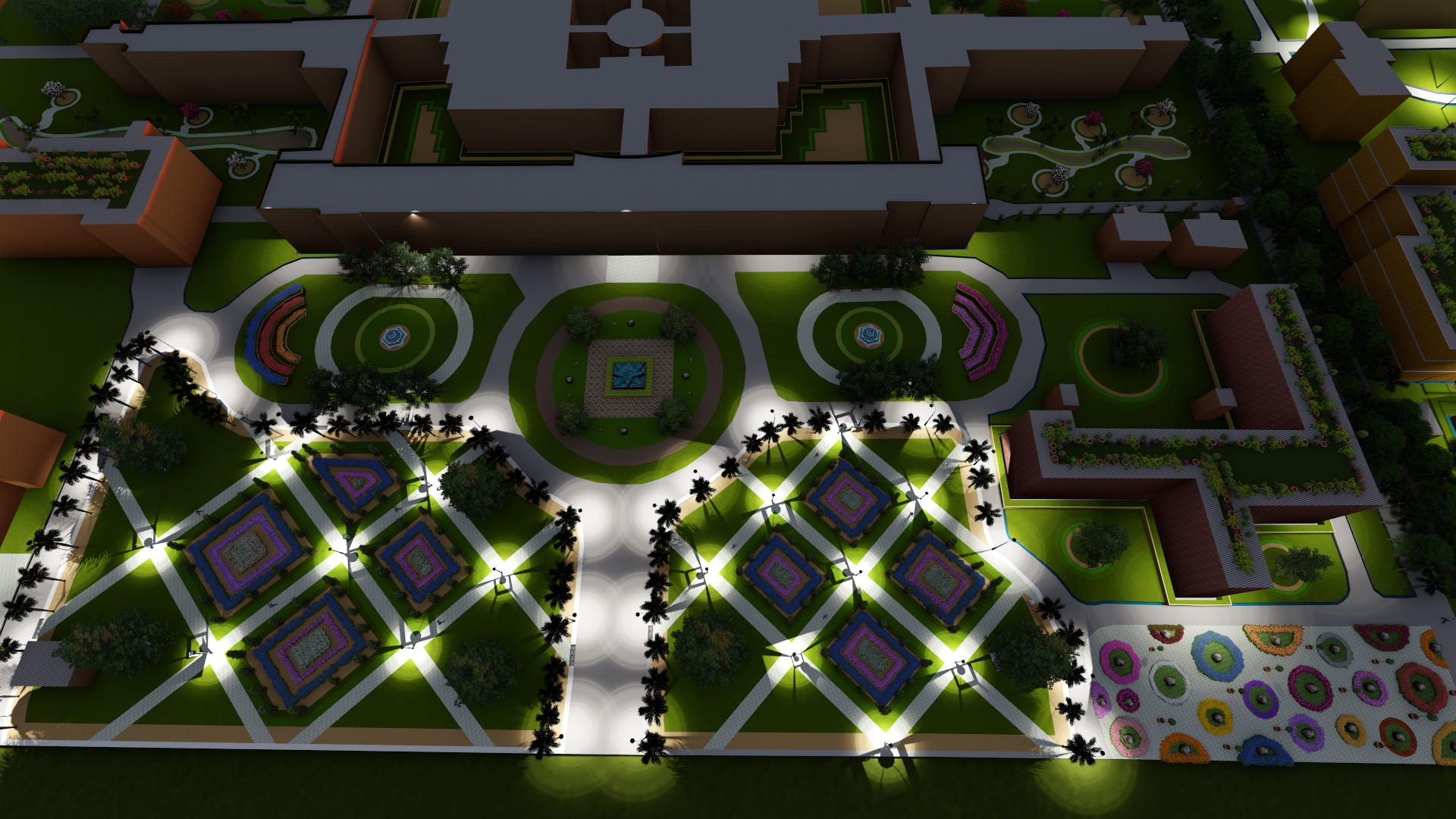
Night-view visualization of the proposed campus design
Night visualization
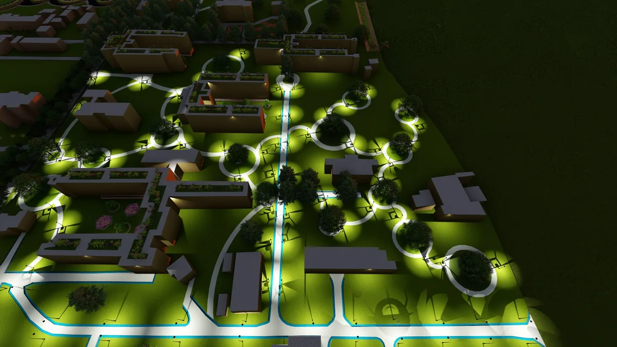
Night aerial view of the campus proposal
Night aerial
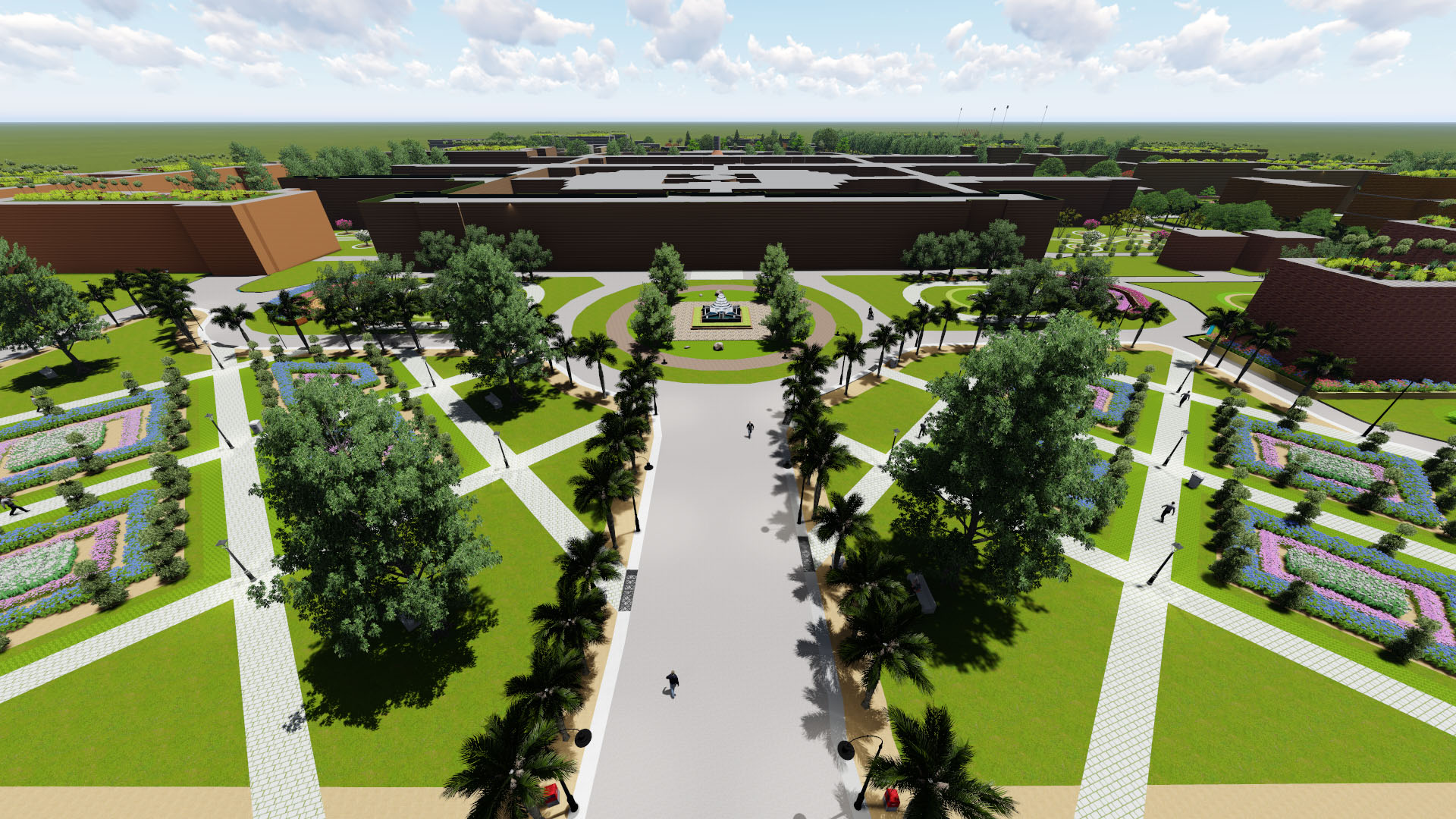
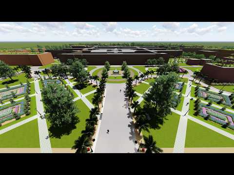
Entry-axis perspective of the proposed campus landscape
Entry-axis view
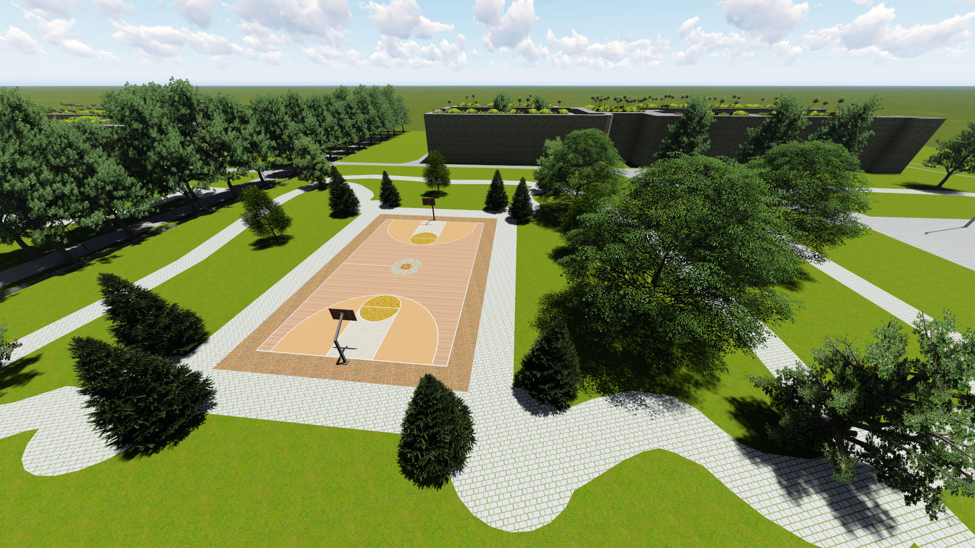
Open activity court within the campus landscape proposal
Activity court