Education
- MSc in Computer Science & Engineering Jahangirnagar University · CGPA 3.79
- Bachelor of Urban and Regional Planning RUET · CGPA 3.18
I work at the intersection of GeoAI, remote sensing, UAV imagery, and spatial data science, with a particular interest in the quality assessment of AI-derived geospatial products. My research goal is to develop reliable, interpretable, and transferable methods for real-world mapping and spatial decision support, across data-scarce and operational mapping contexts.
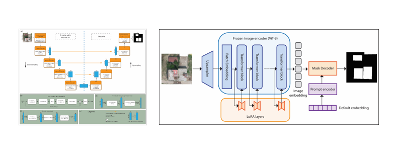
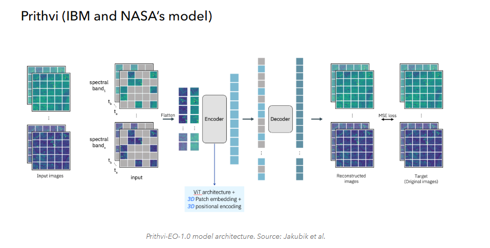
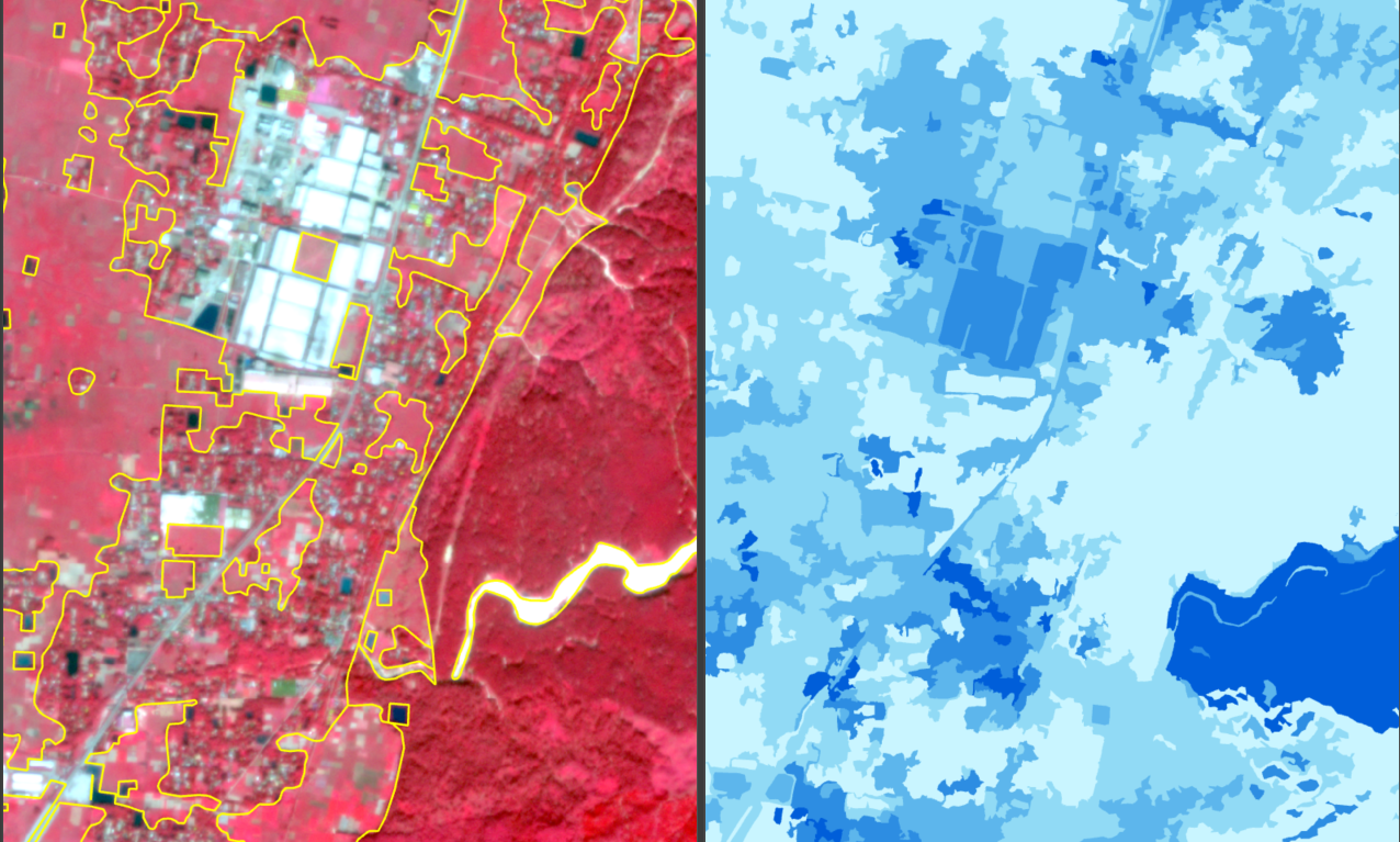
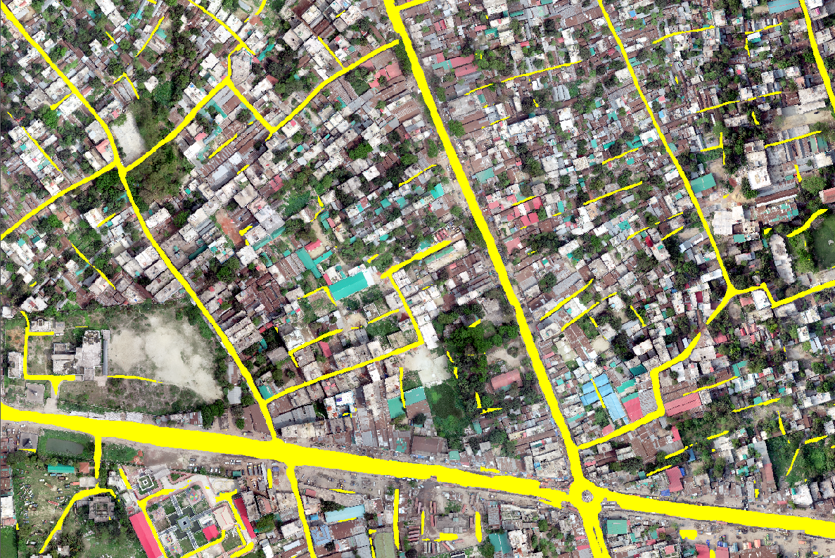
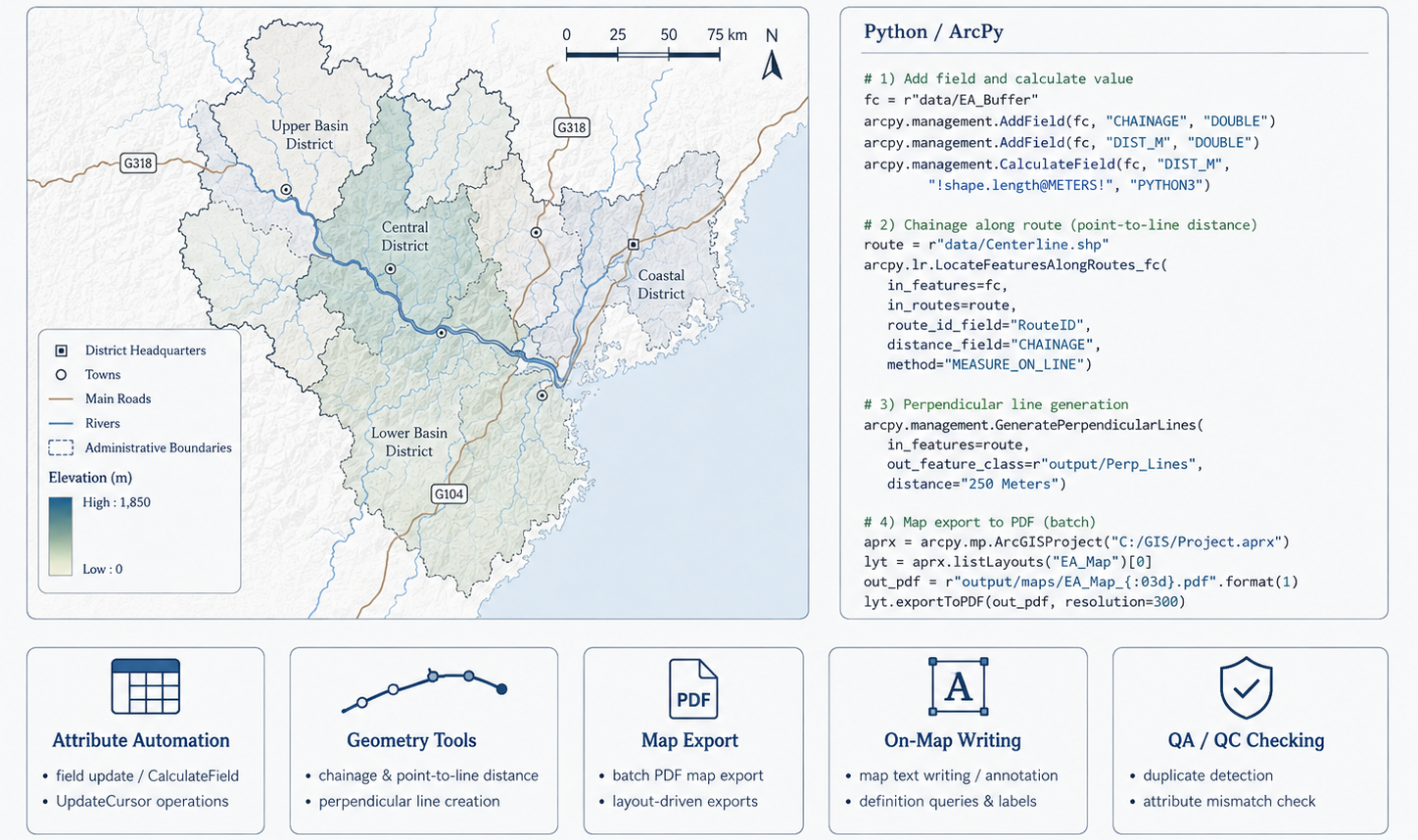
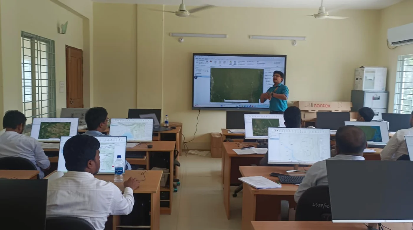
My previous work spans building-footprint quality validation, land-use and land-cover analysis, wetland research, UAV and RTK field survey, GIS automation, WebGIS, and operational ArcGIS workflows. At Esri Bangladesh, my current professional work focuses on geoprocessing tool development, ArcPy-based geospatial automation, and Experience Builder dashboard implementation. My research preparation focuses on GeoAI workflows and machine-learning/deep-learning models for semantic segmentation, geospatial feature extraction, object-level quality assessment, model transferability, and spatial decision-support applications.
 Esri Bangladesh
GIS Analyst
Esri Bangladesh
GIS AnalystPeer-reviewed work across environmental change, coastal systems, wetlands, and spatial planning.
Open publication record ↗

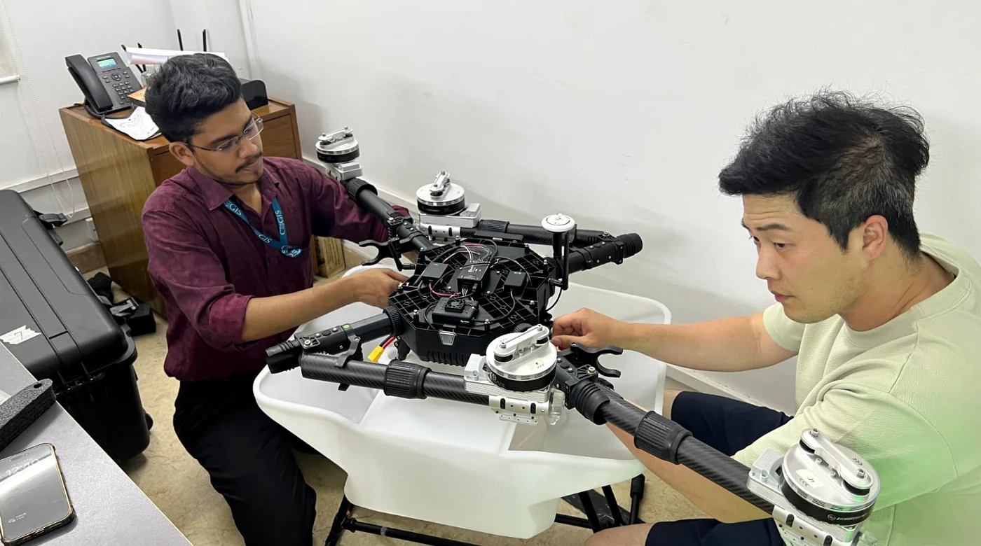
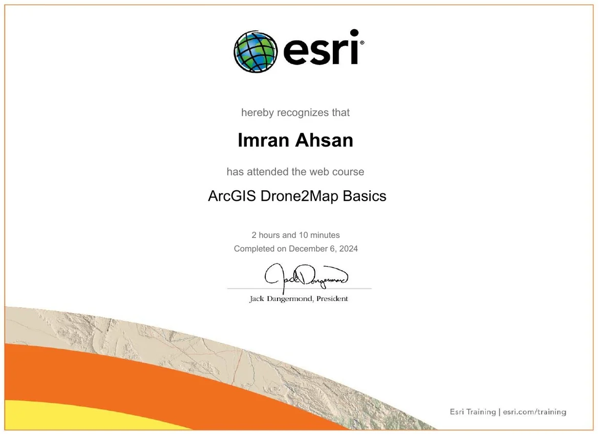
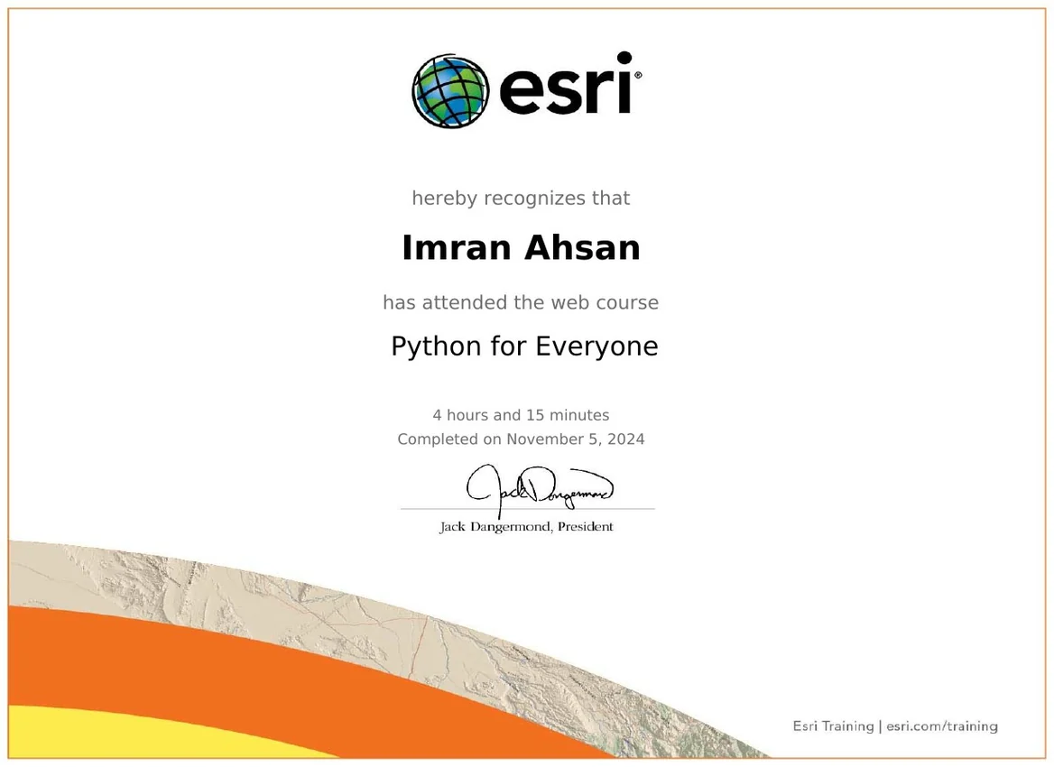
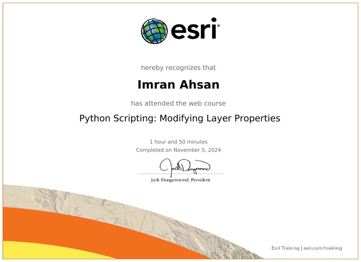
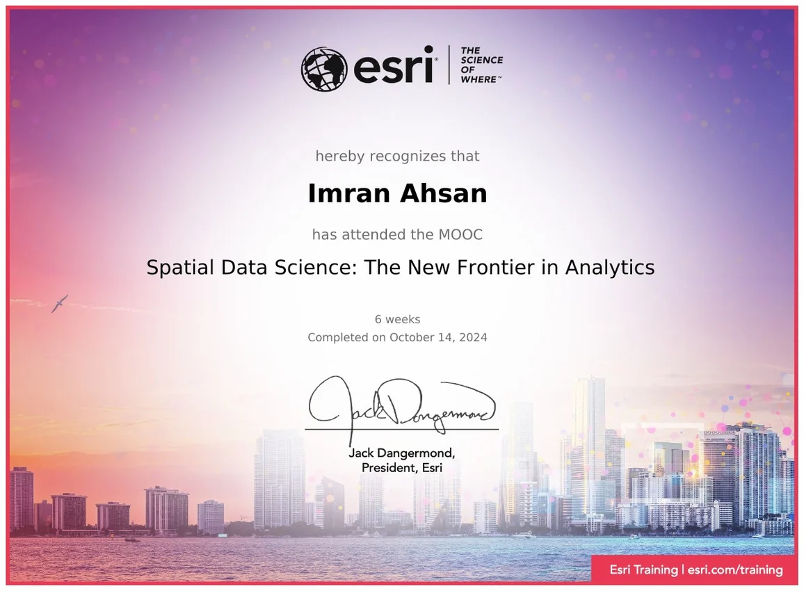
Selected verified credentials in UAV operations, Python, and spatial data science.